


Price :
QTY :
CART TOTALS :
There are items
in your cart
CART TOTALS :
With this products also buy:
Your shopping bag is empty
Go to the shopBelow you will find a selection of maps from the Great Rivers Habitat Alliance map room. Please contact us with any questions about these maps.
Potential Effects of Maryland Heights Floodplain Development on St. Charles County and City


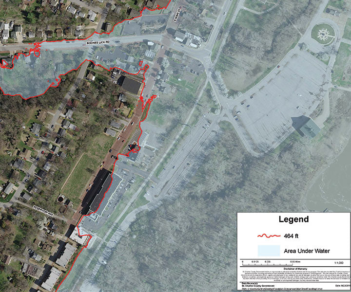
Valley Park Levee Trail Spot Elevations

Confluence Floodplain
Displays the Great Rivers confluence within surrounding cities.

Floodplain
An enlarged view of the floodplain in and around St. Charles County.

St. Charles County Floodplain
A map of St. Charles County’s floodplain.
Levee Districts
Depicts levee districts in St. Charles and St. Louis counties.
L-15 Levee
Proposed L-15 Levee in St. Charles County floodplain.
USGS
USGS map of floodplain in St. Charles County.
Floodplain Ownership
Displays waterfowl clubs, agricultural, and publicly owned properties in the St. Charles County floodplain.
Urban Areas
Urban sprawl in St. Charles and St. Louis counties.
Tree Cover
Tree coverage in St. Charles County.
Soil Types
Soil types in St. Charles County.
Duck Clubs
An aerial photo of duck clubs (outlined in yellow) in the St. Charles County area. in the St. Charles county area.")
Vision of long term preservation of the Confluence region sets out a concept of a joint venture partnership.
To address flooding, GRHA is working with local leadership to tackle the issue of floodplain rise and the filling of the floodplain and develop regional approach for managing flood losses while protecting and restoring benefits of floodplains.
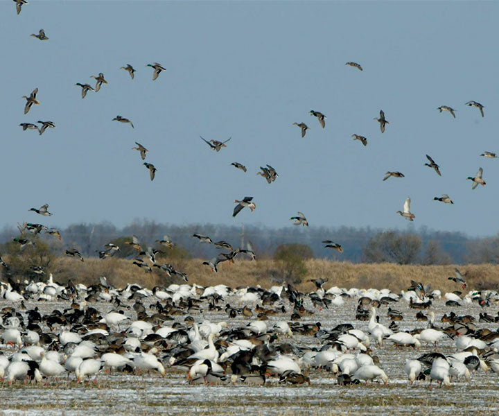
Home to approximately 241 fish species, 50 mammal species, 45 reptile and amphibian species, 37 species of mussels, and 60% of migratory birds occupy the MS Flyway.
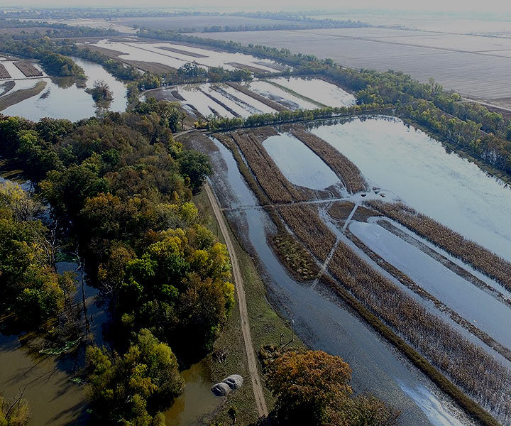
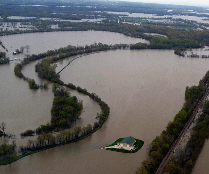
St. Charles County floodplain held more than thirty billion cubic feet of water during the peak of the great 1993 flood. Imagine if this water were pushed down stream.
A selection of maps from the Great Rivers Habitat Alliance map room. Please direct any questions about these maps please contact us.
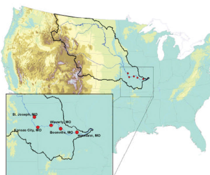
Five stations along the Lower Missouri River were examined using specific-gage analysis (SGA)