


Price :
QTY :
CART TOTALS :
There are items
in your cart
CART TOTALS :
With this products also buy:
Your shopping bag is empty
Go to the shop
Nicholas Pinter
Geology Department
Southern Illionis University, Carbondale
Reuben A. Heine
Environmental Resources and Policy Program
Southern Illinois University, Carbondale
The goals of this research were to:
1. document long-term trends in flow conveyance on the Lower Missouri River
2. begin to assess what mechanisms have caused these trends
3. update flood frequencies using the new “stage indexing” technique
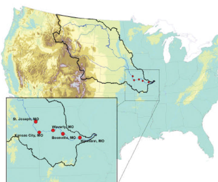
Five stations along the Lower Missouri River were examined using specific-gage analysis (SGA), which is a technique that holds discharge constant in order to observe trends in a parameter such as stage over time. This analysis reveals that for all flood conditions on the Lower Missouri River, stages have systematically risen for equal discharge volumes over the period of record. SGA can also be used for analyzing other time-series parameters such as cross-sectional area, flow velocity, or channel width, which illustrate the actual mechanisms of channel change. The results show that at three Lower Missouri River stations, velocity appeared to be the dominate mechanism driving shifting stage changes. At the two other stations studied, constriction in channel cross-sectional area appear to have driven increases in flood stages.
Rising flood stage trends imply that large floods will occur more frequently than previously estimated. The stage indexing technique updates flood frequencies by incorporating long-term stage trends in order to homogenize historical stage data to the current year. Using this technique, estimated frequencies for all large flood events at all five Lower Missouri River stations analyzed were increased, sometimes dramatically. For example at Boonville, the largest flood occurring in the 70-year record was the 1993 flood with a stage of 35.16 ft. Without accounting for the long-term shifts, the 1993 flood would have a recurrence interval of at least 71 years, and recurrence times of 100-500 years are commonly cited. After indexing, however, the 1993 flood drops to just the 4th largest flood by stage, and the adjusted recurrence interval for a stage of 35.16 ft drops to 15-20 years under present-day conditions.
Such profound changes in flood response should be recognized on the Missouri River and incorporated into current estimates of flood hazard and into strategies for river management and flood mitigation.
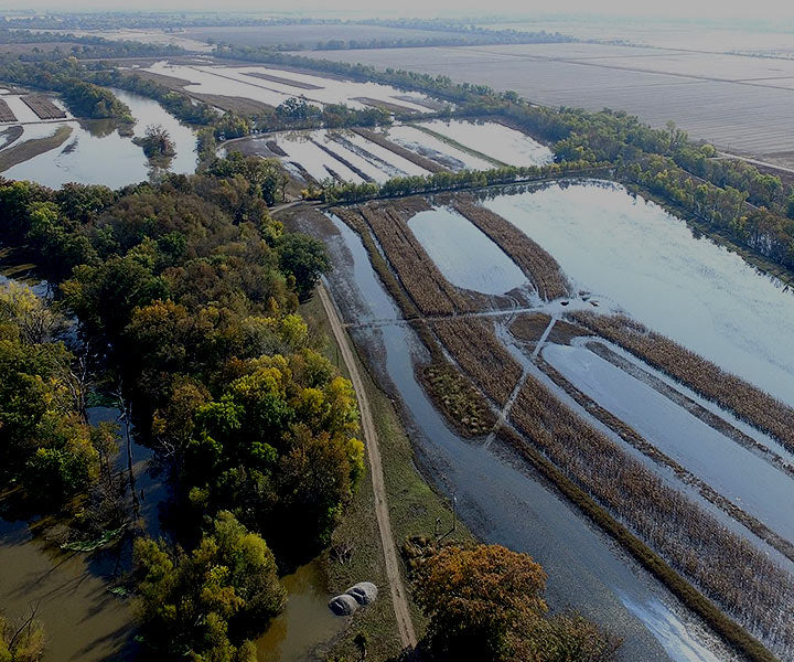
Vision of long term preservation of the Confluence region sets out a concept of a joint venture partnership.
Five stations along the Lower Missouri River were examined using specific-gage analysis (SGA)
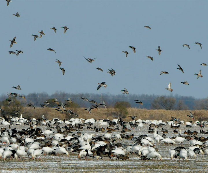
Home to approximately 241 fish species, 50 mammal species, 45 reptile and amphibian species, 37 species of mussels, and 60% of migratory birds occupy the MS Flyway.
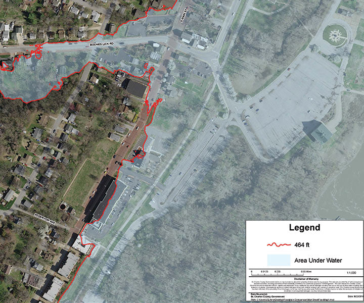
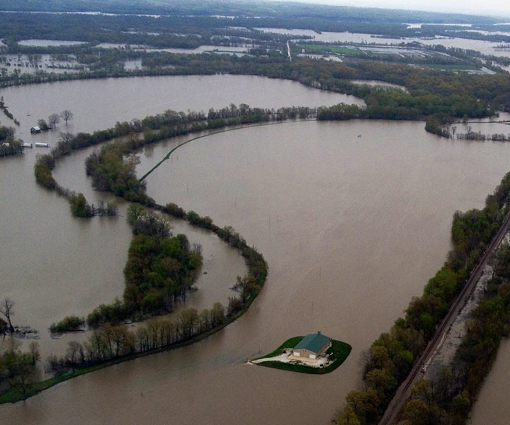
St. Charles County floodplain held more than thirty billion cubic feet of water during the peak of the great 1993 flood. Imagine if this water were pushed down stream.
A selection of maps from the Great Rivers Habitat Alliance map room. Please direct any questions about these maps please contact us.
To address flooding, GRHA is working with local leadership to tackle the issue of floodplain rise and the filling of the floodplain and develop regional approach for managing flood losses while protecting and restoring benefits of floodplains.