


Price :
QTY :
CART TOTALS :
There are items
in your cart
CART TOTALS :
With this products also buy:
Your shopping bag is empty
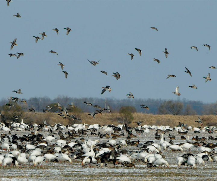
Go to the shopThe Mississippi River, the third largest river in the world, is home to approximately 241 fish species, 50 mammal species, 45 reptile and amphibian species, and 37 species of mussels. Sixty percent of the nation’s migratory birds occupy the Mississippi Flyway. More than 14 million ducks pass over this floodplain twice annually.

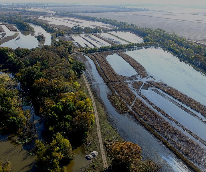
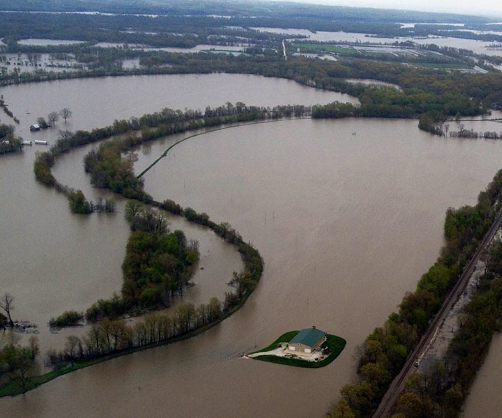
In order for our river ecosystem to function properly, riparian lands must remain natural and floodable.
Vision of long term preservation of the Confluence region sets out a concept of a joint venture partnership.
To address flooding, GRHA is working with local leadership to tackle the issue of floodplain rise and the filling of the floodplain and develop regional approach for managing flood losses while protecting and restoring benefits of floodplains.
Home to approximately 241 fish species, 50 mammal species, 45 reptile and amphibian species, 37 species of mussels, and 60% of migratory birds occupy the MS Flyway.
St. Charles County floodplain held more than thirty billion cubic feet of water during the peak of the great 1993 flood. Imagine if this water were pushed down stream.
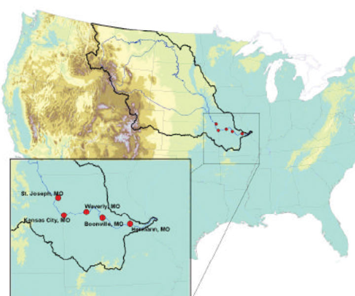
Five stations along the Lower Missouri River were examined using specific-gage analysis (SGA)
GRHA through the Missouri Department of Conservations (MDC) Mentored Hunt program, youth and first-time hunters were introduced to the traditions of waterfowl hunting while learning conservation ethics.