Price :
QTY :
CART TOTALS :
There are items
in your cart
CART TOTALS :
Your shopping bag is empty
Go to the shop
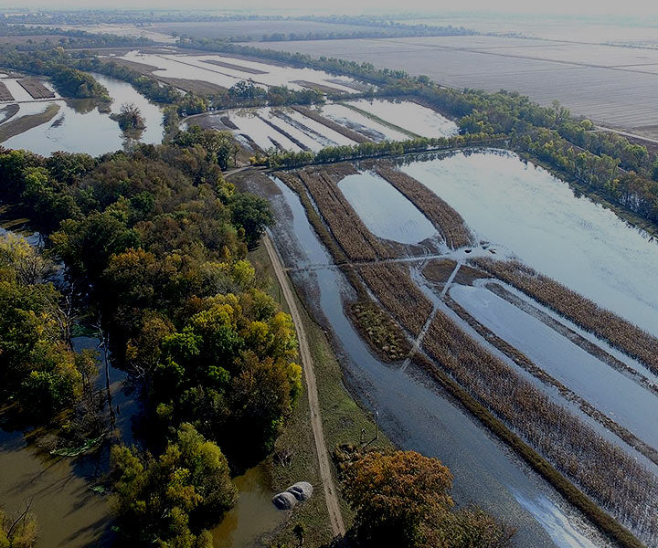
Great Rivers Habitat Alliance implements a number of initiatives dedicated to preserving the natural resources of the floodplain. We strive to educate the public on the importance of limiting 100-year floodplain development.
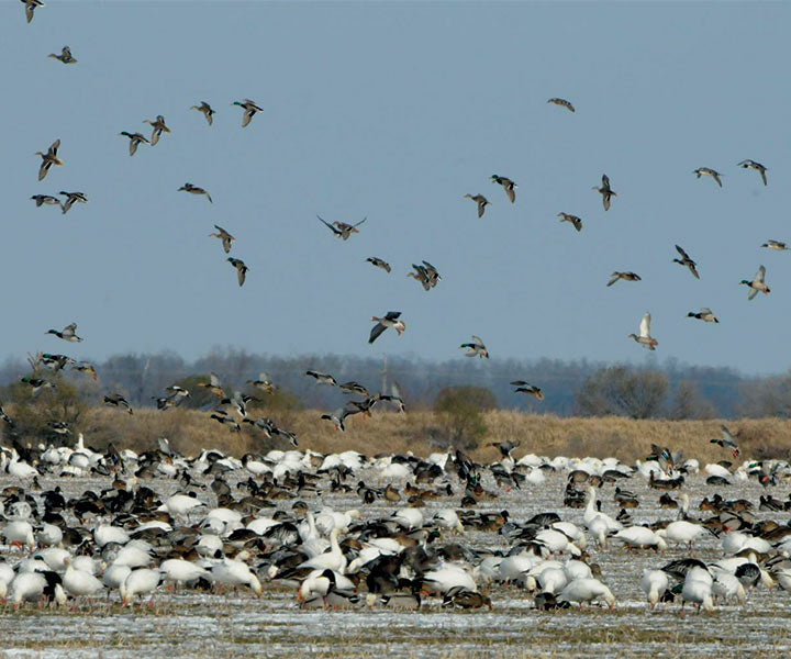
Our commitment to habitat preservation is an attempt to maintain the rich biodiversity that resides in the floodplain. Hundreds of species reside in the Mississippi River. Preservation of their habitat is essential for their survival.
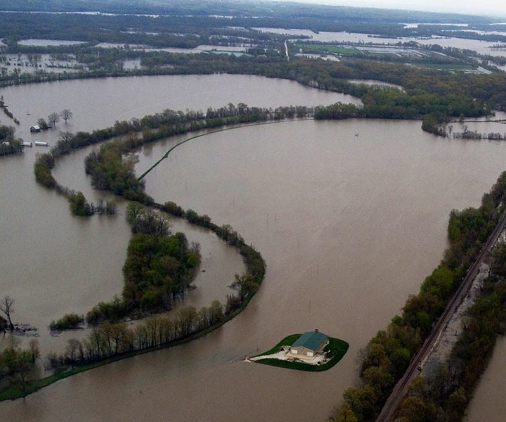
If most of the floodable land in the Confluence were to be encased by levees, where would the water go? It would most likely flow behind other existing levees protecting urban and business districts in St. Louis. Great Rivers Habitat Alliance proposes to create the Confluence Floodplain Joint Venture Partnership. This loose partnership of public agencies and private organizations will develop and initiate the goal of preserving, restoring and maintaining the confluence floodplain for its agricultural heritage, wildlife habitat, and water storage capacity. Land preservation will be conducted on a landscape level through a series of land and conservation easement acquisitions/donations on a willing seller/donor basis.
Vision of long term preservation of the Confluence region sets out a concept of a joint venture partnership.
To address flooding, GRHA is working with local leadership to tackle the issue of floodplain rise and the filling of the floodplain and develop regional approach for managing flood losses while protecting and restoring benefits of floodplains.
Home to approximately 241 fish species, 50 mammal species, 45 reptile and amphibian species, 37 species of mussels, and 60% of migratory birds occupy the MS Flyway.
St. Charles County floodplain held more than thirty billion cubic feet of water during the peak of the great 1993 flood. Imagine if this water were pushed down stream.
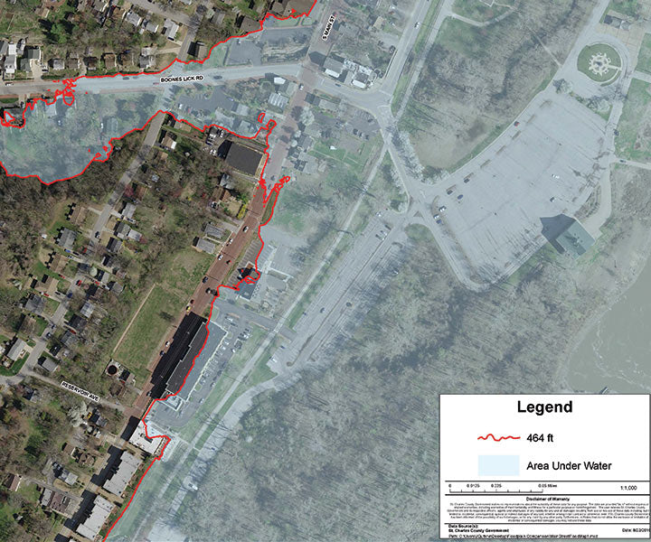
A selection of maps from the Great Rivers Habitat Alliance map room. Please direct any questions about these maps please contact us.
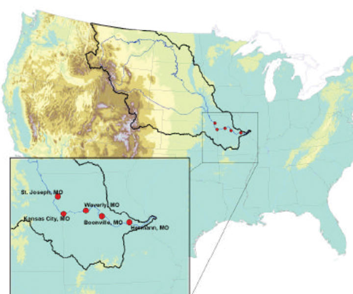
Five stations along the Lower Missouri River were examined using specific-gage analysis (SGA)
